
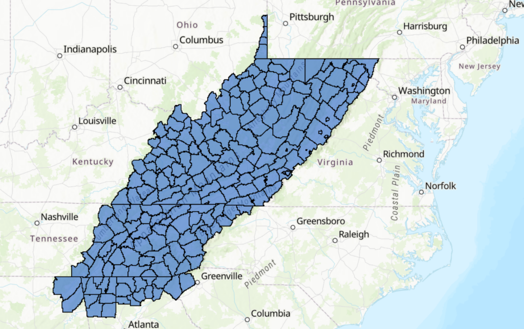
To compare and contrast historical definitions, visit our interactive ArcGIS map.
Click on the “Layers” menu (three layered squares highlighted in red).
When the list of maps loads, check the eye icon (highlighted in blue) for the layer of counties you would like to view.
